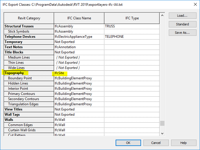
File:Revit-geolocation-topoexport.png
From Wiki.OSArch
The printable version is no longer supported and may have rendering errors. Please update your browser bookmarks and please use the default browser print function instead.
Revit-geolocation-topoexport.png (692 × 520 pixels, file size: 30 KB, MIME type: image/png)
File history
Click on a date/time to view the file as it appeared at that time.
| Date/Time | Thumbnail | Dimensions | User | Comment | |
|---|---|---|---|---|---|
| current | 20:17, 16 March 2020 |  | 692 × 520 (30 KB) | Moult (talk | contribs) |
You cannot overwrite this file.
File usage
The following page uses this file:
